Sunday, March 20, 2016

Backpacking the Cumberland Trail - Signal Point to North Suck Creek

Recently, I learned about the on-going project to complete the Cumberland Trail. I had also promised my son a Spring-time backpacking trip to test out some of the camping gear he got for Christmas. So, on the first free weekend in March, he and I headed down to the Southern terminus of the trail in Signal Mountain, Tennessee. Like a master sculptor, the Tennessee River and its tributaries have carved mountains out of the lower end of the Cumberland Plateau, creating the Tennessee River Gorge - Tennessee's own version of the Grand Canyon. Our plan was to hike the Signal and Edwards Points Section of the trail along the Tennessee River Gorge.

The plan: Hike in from the Signal Point Trailhead, and set up camp at the North Suck Creek campsite, 7 miles up the trail - then strike camp the next morning and hike back out.
Cumberland Trail, Signal Point, Signal Mountain, Tennessee River Gorge
This section of the Cumberland Trail begins at Signal Point on Signal Mountain. Signal Point was controlled by Union Troops during the Confederate siege of Chattanooga. It was here that Union Troops were able to maintain communications despite Confederate blockades around the city. In this picture, Aaron is looking South, Southeast toward Chattanooga with Raccoon Mountain and Lookout Mountain in the distance.
Cumberland Trail, Signal Point, Tennessee River Gorge
Looking North-west from Signal Point.
Cumberland Trail, Tennessee River Gorge, Signal Point, Signal Mountain
The Cumberland Trail trailhead. North Suck Creek Bridge is our destination.
Cumberland Trail, Tennessee River Gorge, Middle Creek Gorge, Signal Mountain
The first mile of the trail, which was pretty rocky, took us around the edge of Signal Mountain into the Middle Creek Gorge. About 20 minutes in, we came across a clearing in the trees where we could look across Middle Creek Gorge and see Julia Falls in the distance.
Cumberland Trail, Middle Creek Gorge, Signal Mountain
After about a mile and a half, we completed our descent into Middle Creek Gorge and arrived at the Middle Creek Bridge.
Cumberland Trail, Middle Creek Bridge, Teton Sports, Signal Mountain
Aaron crossing Middle Creek Bridge
Cumberland Trail, Middle Creek Gorge, Signal Mountain
After crossing Middle Creek, we started a mile-long ascent up the other side of Middle Creek Gorge. The ascent by itself is pretty challenging. When you have a 40-pound backpack strapped to you, it's really difficult. About half-way up the gorge, we came across a clearing at the base of a couple of natural "arches." 
The ascent up Middle Creek Gorge
Cumberland Trail, Middle Creek Gorge, Signal Mountain
Near the top of the gorge is Lockhart's Arch. The arch is named after 3 boy scout brothers who discovered the arch while seeking a route out of the gorge. 
The Cumberland Trail, Signal Mountain, Tennessee River Gorge
After a couple of hours of challenging hiking, we finally made it to Edwards Point. Edwards Point is right on the Tennessee River, on the other side of the Middle Creek Gorge. This was our planned lunch stop - so we unloaded our packs, got out our bagged lunch, and relaxed while we enjoyed the view.
The Cumberland Trail, Edwards Point, Signal Mountain, Tennessee River Gorge
Aaron enjoying the view.
The Cumberland Trail, Signal Mountain, Raccoon Mountain, Suck Creek Gorge
After Edwards Point, the trail turns North, leaves the Tennessee River, and heads into the Suck Creek Gorge. Across the gorge are the multi-colored bluffs of Raccoon Mountain, giving the area a "Grand Canyon" look and feel.
The Cumberland Trail, Signal Mountain, Suck Creek Gorge
Looking South down Suck Creek Gorge toward Raccoon and Lookout Mountain.
The Cumberland Trail, Signal Mountain, North Suck Creek Gorge
After a four-mile hike into the Suck Creek Gorge, along the edge of the plateau, across several smaller creeks; we finally came to Mushroom Rock. Mushroom Rock is a 20-foot high sandstone pedestal rock that has been naturally eroded into the shape of a mushroom. From Mushroom Rock, the trail makes a sharp descent into the gorge to the North Suck Creek bridge and campground.
The Cumberland Trail, North Suck Creek Bridge
The North Suck Creek campground is situated at the east base of the North Suck Creek Bridge. Aaron and I found a nice clearing and set up camp, right off the trail, beside the bridge. Technically, the Cumberland Trail ends here. Future plans have the trail continuing further North along the creek.
The Cumberland Trail
Across the bridge, it is another mile and a half to Suck Creek Rd/Hwy 27 and Prentice Cooper State Forest
North Suck Creek
Camping by the creek was nice and afforded a convenient and plentiful source of water. After the sun went down, we climbed in our tents, slipped into our sleeping bags, with hopes of staying warm during the 30° night.
The next morning, we had a hearty breakfast, struck camp, loaded up our packs, and headed back up the gorge for our 7-mile hike back to the truck.
Signal Mountain, Rainbow Lake Wilderness Area
After crossing back over Middle Creek, instead of heading back to Signal Point, we headed up a spur trail that took us past the Rainbow Lake spillway to the Rainbow Lake parking area where our truck was parked.

All-in-all, though challenging for the 45 year-old body, hiking this short portion of the Cumberland Trail was enjoyable. I look forward to exploring other portions of the trail in the future.

Friday, October 23, 2015

Autumn in Chattanooga, Tennessee

On the weekend of October 23rd - 25th, our family headed down to the Chattanooga area to enjoy some fall color. My parents are both retired and have become part-time RVers: out on the road doing service projects for about 6 months of the year. One of their fall projects was canceled, so they decided to join us.

We both reserved campsites next to each other at 
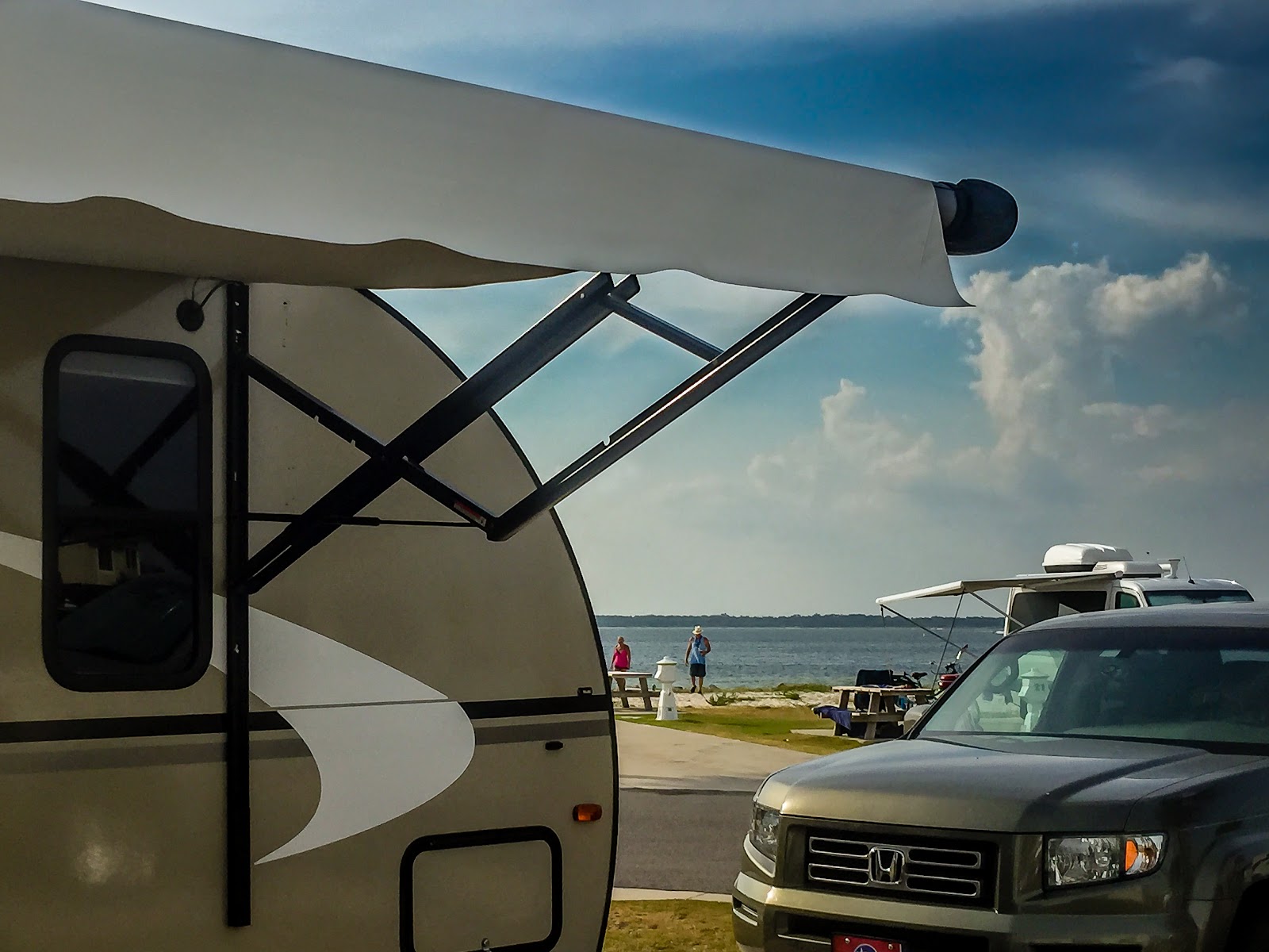
Raccoon Mountain RV Resort, a Good Sam park, just outside of Chattanooga, Tennessee. The campground itself was pretty nice and somewhat secluded. From our site, we had a nice view of Lookout Mountain. Wi-fi and cable both worked well, and the RV park is only a few miles from Downtown Chattanooga and the attractions in the Lookout Mountain area.

Sonic SN220VBH, Venture RV, RVing
Our campsite at Raccoon Mountain RV park, with Lookout Mountain in the background.
Sonic SN220VBH, Venture RV, RVing, Raccoon Mountain RV Park

That Saturday, we had a nice breakfast together and headed to Lookout Mountain to explore Ruby Falls. After enjoying our time at Ruby Falls, we headed further up the mountain to Point Park to take in the scenery. After Point Park, we headed into downtown Chattanooga to grab a bite to eat.

Ruby Falls, Lookout Mountain, Chattanooga
Ruby Falls in all her glory.
Ruby Falls, Lookout Mountain, Chattanooga

Point Park, Chattanooga, Lookout Mountain
Some views from Point Park, atop Lookout Mountain. 
Point Park, Chattanooga, Lookout Mountain

My great, great grandfather Thomas Hicks served as a lieutenant in the Confederate Army. Records show that he fought for the Tennessee 29th Infantry. One of our family heirlooms is a sword that he obtained during the war. Family tradition tells that he found the sword (a union infantry sword) during the battle of Missionary Ridge - part of the overall battle for control of Chattanooga in late November of 1863. While we were at Point Park, one of the park rangers gave us the location where my great, great grandfather was stationed atop the ridge. Sunday morning, after packing up camp, we drove up to Missionary Ridge to find the spot where my great, great grandfather fought some 150+ years before.
Battle of Chattanooga, Tennessee 29th Infantry, Civil War
Plaque marking the spot where my great, great grandfather stood and faced Union troops charging up the ridge. He fought in the 29th Tennessee. 
Missionary Ridge, Lookout Mountain, Chattanooga
The view from Missionary Ridge (Lookout Mountain in the background) some 150+ years after my great, great grandfather stood here and fought.

Saturday, October 3, 2015

Men's Retreat at Montgomery Bell

On the first weekend in October, the men of my church gathered in Montgomery Bell State Park for a prayer retreat. Most of the men stayed in the Inn there at the park, but a hand full of men decided to brave it out in the campground.

That particular weekend ended up being very wet and cold. It rained all weekend with evening lows in the lower 40s. All of the sites were saturated and any available wood was soaked, which made it pretty challenging for those camping in tents. I, however, was not camping in a tent. I was camping in my RV - on a nice creek-side site that I had secured a couple of months earlier.

Montgomery Bell State Park, Tennessee State Parks, RVing

Because it was rainy and cold, I didn't really get out and do much in the park, or take many pictures - which was good, since the focus of the weekend was the prayer meetings. I didn't have the beautiful outdoors as a distraction to what God wanted to accomplish. Once our meetings had concluded that Saturday afternoon, I was able to get in a short hike during a small break in the weather. I didn't want to get my Nikon out in the weather, so all pictures were taken on my iPhone.

Tennessee State Parks, Hiking
Hiking trail through the iron ore pits. Montgomery Bell was one of the Nation's leading Iron producers in the early 1800's. Cannonballs used in the war of 1812 were probably cast here.
Inside a sandstone chapel built to commemorate the founding of the Cumberland Presbyterian Church
Tennessee State Parks
The Cumberland Presbyterian Church was founded on these grounds in 1810 at the home of Rev. Samuel McAdow. A replica of his home is near by. This chapel was built to commemorate the founding of the denomination.
Tennessee State Parks
Dam and spillway at Lake Woodhaven, one of the 3 lakes at Montgomery Bell State Park.

Sunday, August 9, 2015

Pensacola Beach

During the week of July 13, 2015, while both of our kids were involved in our church's summer youth camp, my wife and I decided to take a quick vacation down to the gulf coast of Florida. Believe it or not, there aren't as many full-service RV campgrounds on the beach as you would think. I found one in Destin and one in Pensacola Beach. We ended up going to Pensacola Beach and camped at the Pensacola Beach RV Resort.

We arrived at the campground around 4:30pm that Tuesday afternoon and were quickly assigned a site.
The view from our campsite
Site 53, while not a "premium" site, had a great view of the campground beach on Santa Rosa Sound. Pensacola Beach RV Resort is a really nice campground. It is walking distance from most of the restaurants and shopping, and most importantly, the beach. Right across the street from the campground are 2 public beach entrances. Pensacola Beach RV Resort also offers complementary Wi-Fi and Cable TV. Both worked really well, which was probably a first for us. Usually, when a campground offers free Wi-Fi and/or cable, the service usually leaves much to be desired, if working at all. The campground also has a pool and 4 private and very clean shower/bathrooms. 

After getting camp set up, I headed over to the beach to see what it was like. By the time I got there, the rentals had shut down, but the beach was really nice and not crowded at all.
The only bad thing about being on the Gulf Coast in the middle of July is: it's HOT! I think daytime temperatures were in the upper 90s with high humidity - much too hot to be enjoyable. Because of that, we tried to limit our out-door activities to the mornings and evenings.
Just as the sun was setting, we decided to leave the comforts of our air-conditioned camper and go exploring. This view of the sun set is from our campground beach. I love that I captured the silhouette of the kayakers in the shot.
We enjoyed a relaxing stroll along the beach.
As the sun dipped further below the horizon, it cast a pink glow over everything. Didn't need rose-colored glasses - just a beautiful sun set.
The next morning, we headed out to the beach after breakfast and stayed there a few hours - until we couldn't take the heat any longer. After lunch, we ventured out and explored some of the shops. Pensacola Beach has 2 dog parks - one on the west side of the island, and one on the east side headed toward Navarre.

After dinner, we took Angel out to the dog park at park west. This was her first time ever seeing the ocean.
She didn't know what to think at first, but definitely wanted to check it out.
She was a little scared of the surf and the waves...

But all in all, she enjoyed the experience.
Again, as the sun began to set, we got a display of God's artistry.
Sea Oats set against the sunset sky.

The colors in the sky were brilliant.
The next morning, I got up early to try and catch the sunrise over Santa Rosa Sound.
I walked out on the campground beach, just a few feet from our campsite, and was able to catch this shot. The sun was behind the clouds, but still made for a beautiful start to the day.
After breakfast, we decided to take in a little of the area's history. The Pensacola Bay area was actually the home of the first European settlement in the United States. Tristan de Luna landed on Santa Rosa Island in 1559. St. Augustine, FL wasn't settled until 1565 and Jamestown, VA in 1607.
Santa Rosa Island was also the location of the very first Christian Mass held in the United States. The cross marks the approximate location of that first worship service. Earlier this year, I got to visit the very first cathedral ever build in the new world when I was in Santo Domingo. Then I got to visit this place - the location of the very first Christian worship service on American soil.

The cross was placed here in 1959 by the Knights of Columbus to commemorate the 400th anniversary of de Luna's landing and the introduction of Christianity to the area.
Pensacola Beach is also the home of Fort Pickens. Fort Pickens, located at the Western end of Santa Rosa Island, was completed in 1834 and remained in service until 1947.
Fort Pickens was built almost entirely by slaves. Ironically, the same government that used slave labor to build the fort, would later use the fort to defend the nation against those who wished to maintain slavery in the south.
One of the things that impressed me about the fort was the quality of the masonry work. The slave masons were obviously incredibly talented and skilled. They built this fort so well, that it still stands 181 years later. There is a portion of the fort that was destroyed, but that was due to a freak explosion of black powder - not shoddy workmanship.
The officer that oversaw construction of the fort was Colonel William H Chase. During the Civil War, he actually joined the Confederacy and even demanded the surrender of Fort Pickens to the Florida Militia.
The demands for surrender were refused, and on November 22 and 23, 1861, Fort Pickens opened fire on numerous Confederate positions in the area and successfully defended Pensacola Harbor and the Navy Yard from Confederate control.
A little over 20 years after the end of the Civil War, Fort Pickens was used to imprison captives from the Indian wars in the west.
Geronimo and several of his Apache warriors were imprisoned at Fort Pickens during 1886 and 1887, and became somewhat of a tourist attraction.
During the late 1890s and early 1900s, Fort Pickens saw numerous "improvements" to respond to the change in military technology and warfare. The concrete structures in the picture above are thought to be the remains of a shelving system built to hold and store naval mines.
Several "modern" gun batteries were constructed in and around Fort Pickens. The gun above is a Civil War-era cannon, and in the distance is a gun battery built during the turn of the 20th century.
Fort Pickens is now part of the Gulf Islands National Seashore. The surrounding area contains a primitive campground, a bird sanctuary, and protected sand dunes.
After touring Fort Pickens, we went to Red Fish Blue Fish for lunch. After lunch, we headed across the bay into Pensacola.
While we were in Pensacola, we stopped by the local cupcake shop so Lea could try out their cupcakes. They were good - but I think Lea's cupcakes has their's beat.
For our last evening, we decided to have dinner on the beach - so we headed to Crabs We Got Em. While there, Lea wanted to experience the Island life, so she enjoyed a tasty PiƱa Colada (without the rum, of course). The food wasn't bad either.
After dinner, we went for a nice walk on the pier: a beautiful end to a wonderful time away in Pensacola Beach.